Training hub
Discover our online training resources to start building your skills and knowledge in the water sector.
Browse by topic
Jacobs
AI
Surface water hydraulics
Surface water hydrology
Groundwater
Modelling general knowledge
Python
HEC-RAS
MODFLOW
QGIS
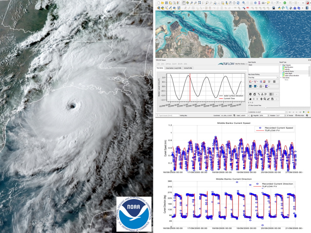
TUFLOW
HEC-HMS
R
RORB
Water quality
ARR
Technology & Innovation
Climate Adaptation
Water Policy & Governance
Water Reuse & Recycle
Water Infrastructure
Energy
Mining
Water Markets
One Basin
Water Research
SWAN
Irrigation & Agriculture
Water Planning
Ecosystem & Catchment Management
FLOW-3D
FLIKE
Training: TUFLOW

Subscribe and stay up to speed!

Maximising Flood Model Value for Catchment and Water Quality Management
Turn flood models into multi-purpose water management tools

Stop Herding Cats and Orchestrate Your Model Runs
Tame the Chaos of Hydraulic Modelling with Modern Tools and Smarter Workflows

TUFLOW 2026 Release
Discover the latest features, pricing updates, and training resources in the 2026 TUFLOW release.

Using Numerical Model Diagnostic Outputs
Elevate your modelling accuracy with smarter diagnostic interpretation.

Flood Simulation Optimisation and Cloud Computing
Minimise overall simulation time and run simulations in parallel with Flood Platform

Hands-on model running with automation

Whole of system simulation of catchment water quality treatment devices

Applications of groundwater modelling in TUFLOW
Mastering groundwater modeling for enhanced calibration; long-term simulations and operational flood forecasting.

Unify your flood modelling
Unify your flood modelling, whether you’re using TUFLOW, HEC-RAS, SWMM or Flood Modeller.

Improving SWMM Modelling with GIS Tools
Empower your stormwater management with EPA SWMM: Open-source, flexible, and globally trusted hydrology and 1D modelling.

Efficient model running with automation
Learn the art of efficient model running – from planning to execution - with these tools, tips and tricks.
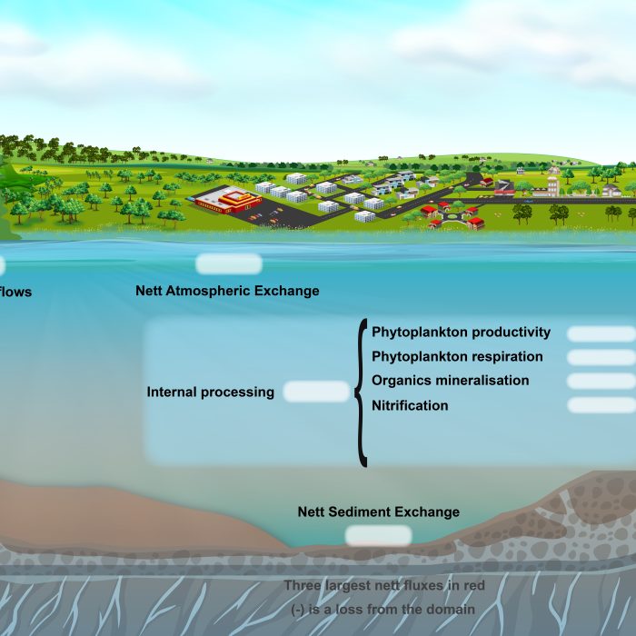
Water quality model validation using mass balance analysis
Unlocking the flow: revolutionising water management through flux-based modeling for unparalleled environmental insight.
How to benchmark your hydraulic solver
Discover how to evaluate hydraulic solver’s suitability and perform basic tests to validate model robustness.
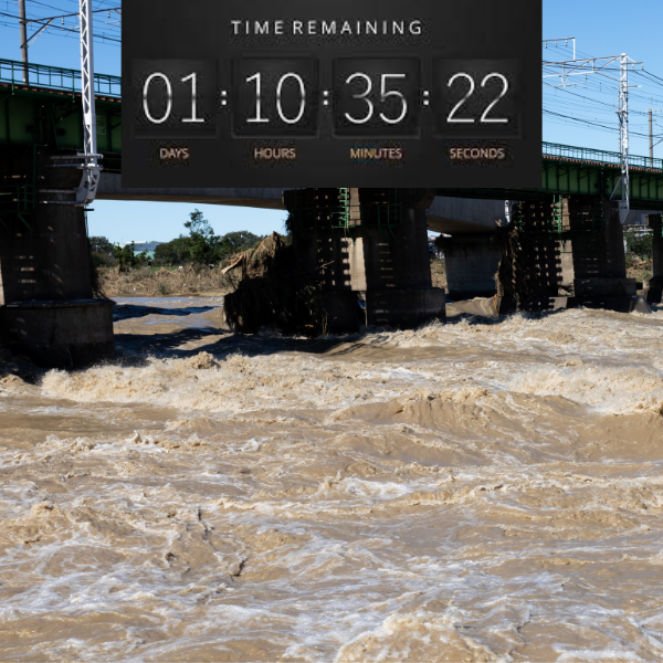
Real-time flood forecasting
Faster flood model simulations revolutionise real-time flood forecasting and intelligence.
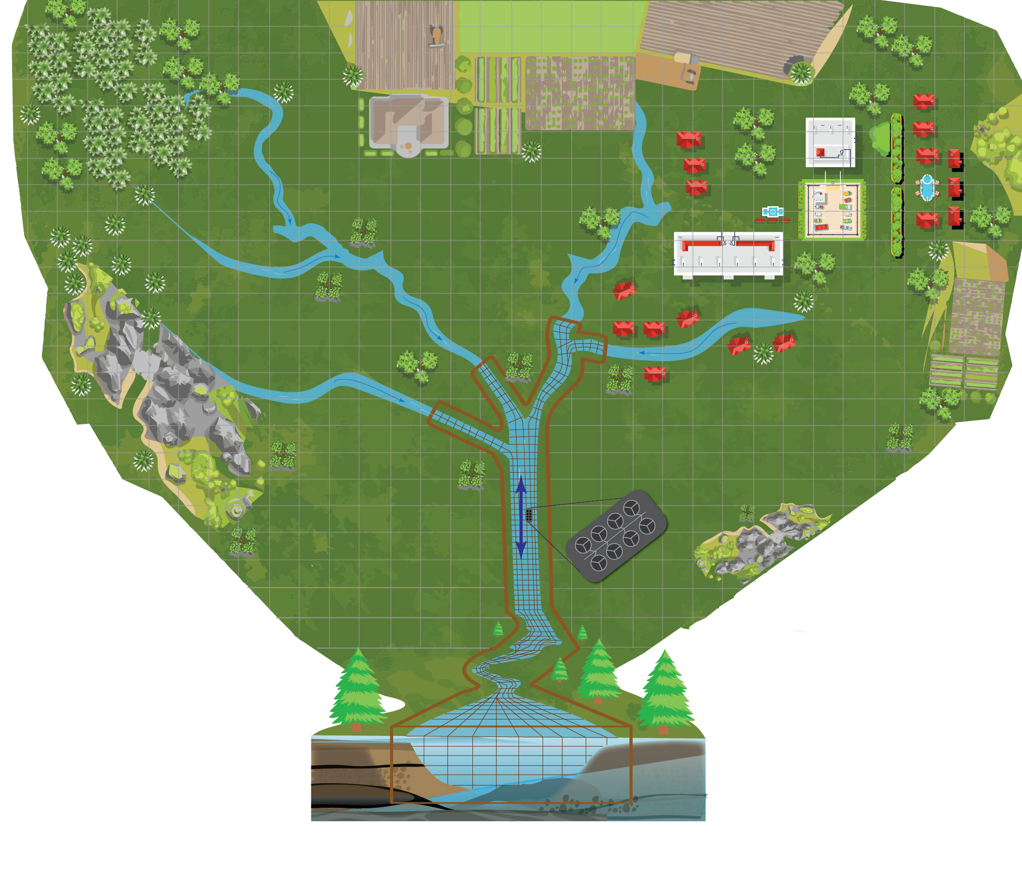
Integrated catchment and receiving water modelling
A presentation on the application of a new tool that seamlessly integrates processes on catchment and three-dimensional water quality modelling
Sediment transport modelling applications
Explore 2D and 3D sediment transport modelling approaches in coastal, estuarine and riverine environments

Computer hardware for hydraulic modelling
Purchasing advice and compelling insights regarding computer hardware best fit for hydraulic modelling

Water quality modelling – Part 2
Modelling the environmental fate and transport of pathogens
Flood modelling 101
New to the industry or want to understand the essentials of modelling floods? This webinar provides a concise introduction.
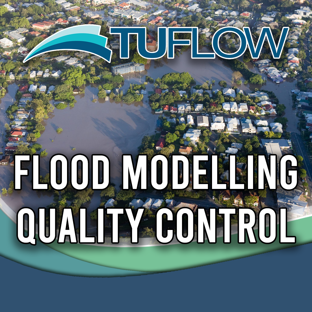
Flood modelling quality control
TUFLOW modelling: practical approaches to minimise errors
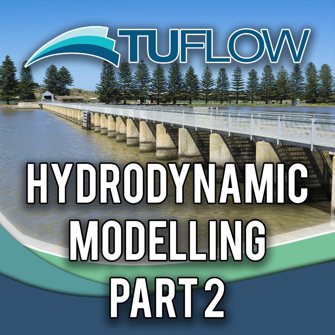
Applied hydrodynamic modelling – Part 2
Demonstrating the use of hydrodynamic modelling as a tool for engineering planning and design
Applied hydrodynamic modelling – Part 1
Two case studies demonstrating the use of hydrodynamic modelling as a tool for environmental management decision making
Coastal water quality modelling 101 – Part 1
Making the most of our coast whilst minimising impact: 3D water quality and environmental modelling applications
Operational structure modelling using TUFLOW
Learn about a range of operational structures in TUFLOW
3D Coastal Modelling 101
Explore 3D modelling approaches for coastal environments
Lake modelling
Learn of the complexities of modelling stationary water
Energy losses at structures
Understanding energy losses associated with the contraction and expansion of water flow

Next generation 2D hydraulic modelling
Is this the end of the 1D open channel modelling?
Coastal Modelling 101
Oceans, coasts and estuaries - Taking a salty approach to your next project
Future of water quality modelling
Learn about new approaches to water quality modelling, with a focus on the use of smart particles that modify ambient water quality and have motilities that respond dynamically to environmental conditions.