

Training hub
Discover our online training resources to start building your skills and knowledge in the water sector.
Browse by topic
Jacobs
AI
Surface water hydraulics
Surface water hydrology
Groundwater
Modelling general knowledge
Python
HEC-RAS
MODFLOW & FloPy
QGIS
TUFLOW
HEC-HMS
R
RORB
Water quality
ARR
Innovation
Climate Adaptation
Governance
Water Reuse & Recycle
Water Infrastructure
Energy
Mining
Water Markets
One Basin CRC
Water Research
SWAN
Agriculture
Water Planning
Ecosystem & Catchment Management
FLOW-3D
FLIKE
Training: FLIKE
Sorry, we don't currently have any training that fits your filters
Below are some other suggestions...
We also offer
Tailored training!
Customised learning experiences designed specifically for your organisation or team to meet your unique needs.

Modelling for Decision Makers
From data to decisions - empowering insightful strategies.
Integrated waterway and catchment management at Basin SCALE
Unlocking the full value of water through system‑wide, locally empowered action.
Advanced PFAS Treatment Technologies in Practice
Including the Radial Flow PFAS Filter and innovative filtration approaches.
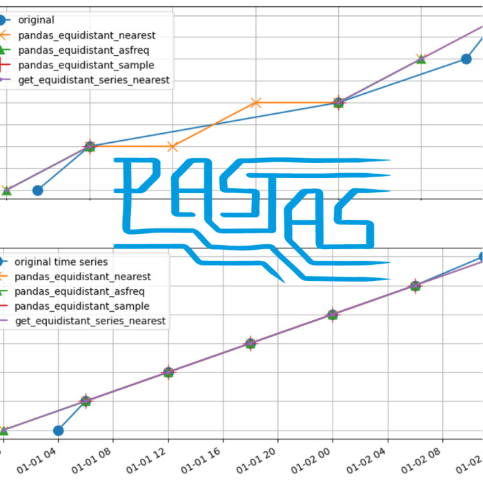
Modelling Groundwater Level Time Series with Pastas
Analyse and model groundwater level time series using the Python software Pastas to gain insights into groundwater systems.

Flood Simulation Optimisation and Cloud Computing
Minimise overall simulation time and run simulations in parallel with Flood Platform
Public First Nations Data: is it Data Nullius?
Challenging “data nullius”: Restoring Indigenous sovereignty in public data governance

Solute Transport and Variable-Density Flow Modelling with MODFLOW 6 and FloPy
Using script-based modelling to simulate groundwater flow and solute transport in MODFLOW 6.
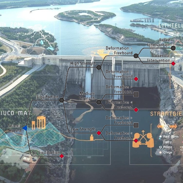
Introducing RMC-TotalRisk 1.0 for Quantitative Risk Analysis
The analytical engine behind USACE’s dam and levee safety risk assessments.
Working with Country to Heal
A Transformative Murray-Darling Basin Billabong and River Ranger Initiative
RMC-BestFit Deep Dive: Unlock the Full Power of Flood Frequency Analysis
Explore modern flood frequency analysis with Bayesian inference, nonstationarity, and peaks-over-threshold using RMC-BestFit.

HEC-RAS: Past, Present and the Road Ahead
See how HEC-RAS has grown from 1995's version 1.0 to today’s advanced tools shaping the future of hydraulic modelling.

Stormwater Treatment 101
Turning the tide on the various nasties in stormwater.

Nature-Based Solutions for Coastal Resilience
Explore innovative, nature-driven strategies to safeguard shorelines, reduce wave impacts, and adapt to climate challenges with sustainable, proven solutions.

Water Futures: Local Communities Leading Change
Explore how local communities in the Murray–Darling Basin can turn conflict into a driver for water justice, collaboration, and lasting change.

Risk Cultures and Water Futures
Learn how four leading experts are reimagining risk and decision-making in a world of climate volatility, water scarcity, and complex global change.
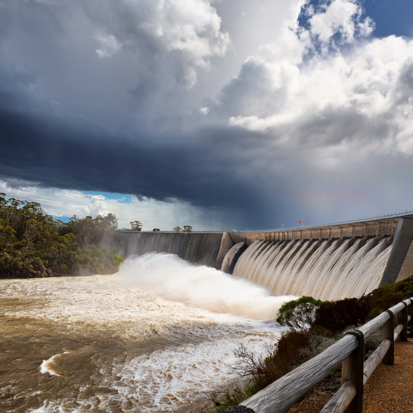
Mastering Probable Maximum Precipitation Estimates in a Changing Climate
Gain insights on climate change considerations for critical infrastructure design.

Hands-on model running with automation
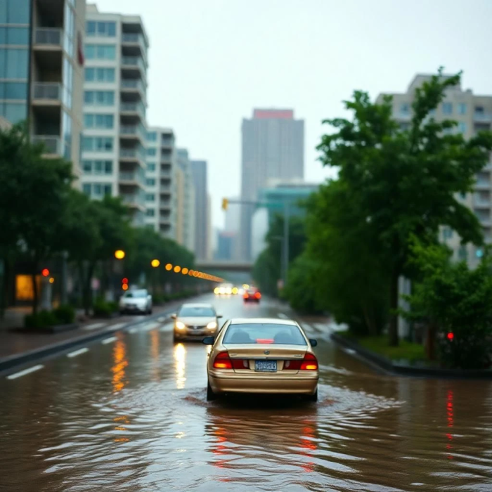
Introduction to Flood Risk Management
Reducing the risks of flooding to life and property.

Adapting Urban Catchments to Climate Change with ARR Updates
Essential knowledge for the water sector and built environment professionals
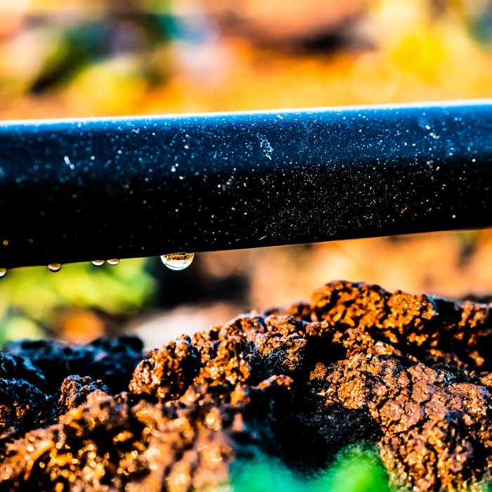
The impact of climate change on crop irrigation requirements across the Murray-Darling Basin
Predicting the impact of climate change on irrigation demand across the Murray-Darling Basin

Mapping surface water with satellite data and AI tools
Unlocking best practices, data sources, and emerging AI techniques for extracting flood extents from satellite and aerial imagery
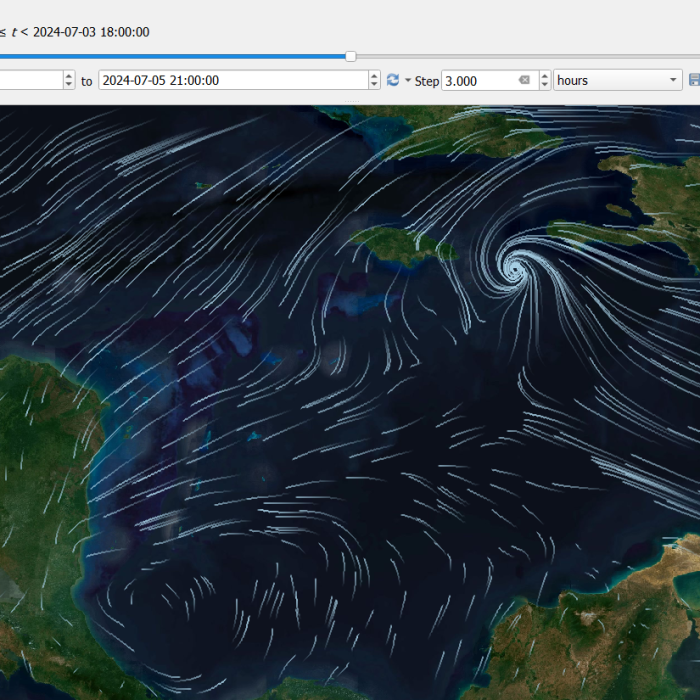
Mastering Mesh Data with QGIS
Learn to analyse, visualise and animate mesh data from your models in QGIS.

Water Quality – the sleeping issue in the Murray-Darling Basin?
From obscurity to crisis, water quality only catches attention when a dramatic event occurs. Learn why this should not be the case.
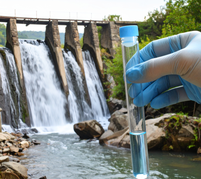
The PFAS problem
What are “forever chemicals” and why should we care?
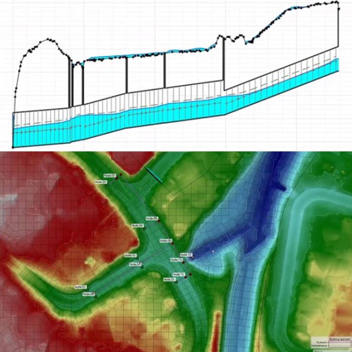
Pipe Networks in HEC-RAS
Explore pipe network modelling capabilities in the newly released HEC-RAS Version 6.7.

Unlocking the full value of a flood model
Maximise flood models' value and transform them into lasting assets
One Basin CRC PhD’s in the Regions: Find out more about projects currently underway
Learn about four exciting regional PhD projects currently underway across the Basin
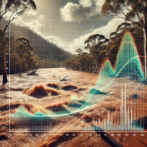
Mastering FFA: Incorporating Extreme Events and Climate Change
Learn to master Flood Frequency Analysis (FFA) using BestFit.
Model groundwater level time series with Pastas
Explore groundwater level time series using Python and Pastas.
