Jacobs
The AWS is proud to deliver free webinars to bring you the latest advancements in Flood Platform capability. Flood Platform has been used within Jacobs for over 15 years, with its capabilities as one platform to unify flood modelling, refined and perfected through use on hundreds of modelling projects. Flood Platform will now be made available to any organisation in early 2025.
AI
Harnessing AI technologies, the AWS offer dynamic education experiences through online training to optimise water management insights. From AI-assisted coding techniques to enhance hydrologic and hydraulic modelling workflows to AI-based tools that help automate the process of extracting input data and assessing results. The AWS is at the cutting edge and bringing the latest advancements to the global water sector.
Surface water hydraulics
Our training in Surface water hydraulics provides you with a comprehensive understanding of the principles and applications of open channel or pressure flow, including the depth, velocity, flood hazard, and capacity of flowing water to move sediment for sustainable water management.
Surface water hydrology
Our training in Surface water hydrology provides you with a comprehensive understanding of the principles and applications of the study of the natural flow and distribution of surface water in space and time.
Groundwater
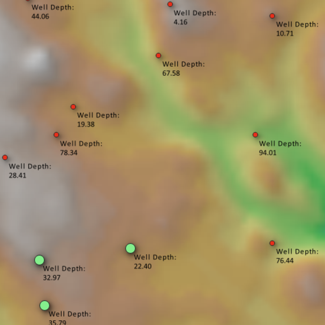
Unearth our training on groundwater to acquire the skills and knowledge to sustainably manage and conserve water resources.
Modelling general knowledge
Our training in Water Modelling provides you with the knowledge and skills to effectively analyse and manage water resources using a wide range of water modelling techniques and software.
Python
Our Python training offers a comprehensive understanding of the fundamentals and advanced concepts of Python programming, equipping learners with the skills they need for water modelling and data analysis. With hands-on courses and expert guidance, you will gain practical experience to become proficient with Python.
HEC-RAS
HEC-RAS is a widely used hydraulic modelling software developed by the US Army Corps of Engineers. Our training in HEC-RAS will provide water professionals with the knowledge and skills to simulate river flows, assess flood risks, and design hydraulic structures.
MODFLOW
MODFLOW is the United States Geological Survey's (USGS) modular hydrologic model. Our training in MODFLOW along with the Python interface, FloPy provides in-depth knowledge and practical skills for simulating and predicting groundwater conditions. You will learn how to simulate models enabling you to gain hands-on experience in creating and analysing hydrogeological systems.
QGIS
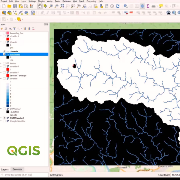
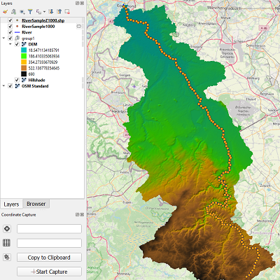
QGIS is a free and open-source Geographic Information System (GIS) software that allows you to visualise, analyse, and manage geospatial data. Our training in QGIS offers hands-on experience and practical exercises to provide you with the knowledge and skills needed for hydrological analysis using QGIS tools and plugins for water modelling.
TUFLOW
TUFLOW is a software package used for flood modelling, and stormwater management. Our training in TUFLOW provides you with a hands-on experience in simulating water flow, assessing flood risks, and analysing water quality for accurate and reliable water modelling.
HEC-HMS
Developed by the US Army Corps of Engineers, HEC-HMS is a hydrological modelling software tool. Our training in HEC-HM offers comprehensive hands-on experience in gaining expertise in simulating rainfall-runoff processes, predicting streamflow, and analysing hydrological behaviour in river basins.
R
Our R essentials for water training provide attendees with a strong foundation and skills to start loading and analysing hydrologic data and exploring the many packages that can facilitate analysis.
R is a free software environment for statistical computing and graphics. It compiles and runs on a wide variety of UNIX platforms, Windows and MacOS
https://www.r-project.org/
RORB
RORB is a general runoff and streamflow routing program used to calculate flood hydrographs from rainfall and other channel inputs. Our training in RORB provides you with the knowledge and skills to effectively use RORB for hydrological modelling. Through interactive sessions and practical exercises, you will learn from experts in designing retarding basins, routing floods through channel networks, and producing runoff hydrographs.
Water quality
Our training on Water Quality will give you a comprehensive learning experience in monitoring, assessing, and improving water resources in urban and rural environments.
ARR
Developed by Engineers Australia, ARR (Australian Rainfall and Runoff) is a national guideline for estimating design flood characteristics in Australia. Our training in ARR training offers an in-depth understanding of applying these guidelines to gain knowledge and skills in infrastructure design and flood management.
Technology & Innovation
Our training in Technology & Innovation allows you to stay at the forefront of the digital revolution allowing you to acquire new skills in the latest advancements and cutting-edge concepts shaping the future through technological innovations.
Climate Adaptation
Our training in Climate Adaptation explores the strategies and tools to address the impact of climate change allowing you to develop climate-conscious solutions for a resilient water future.
Water Policy & Governance
Our Water Policy & Governance training provides you with a comprehensive understanding of areas in water policy and principles, governance models, and regulatory frameworks for sustainable water management.
Water Reuse & Recycle
Our training in Water Reuse & Recycle is specially curated to take a practical hands-on approach to understanding the best practices for effective management of water reuse systems and recycled water quality.
Water Infrastructure
Our training in Water Infrastructure provides you with a broad understanding of planning, designing, and managing sustainable water infrastructure systems.
Energy
Our training in the Energy area provides you with essential knowledge of energy-efficient technologies and practices in the water industry for sustainable energy solutions to optimise water systems.
Mining
Our training in the Mining field provides you the knowledge of sustainable water management practices in mining operations to minimise the impact on water resources.
Water Markets
Our training in Water Markets will give you a comprehensive understanding of navigating water trading and pricing, gaining insights into water market dynamics to make informed decisions.
One Basin
The One Basin CRC is a focused collaboration developing policy, technical and financial solutions to support and reduce exposure to climate, water and environmental threats in the Murray-Darling Basin. Head to https://onebasin.com.au/
Water Research
Our training in Water Research showcases cutting-edge knowledge and methodologies and innovative solutions through impactful research that contributes to sustainable water resource management.
SWAN
SWAN is a third-generation wave model, developed at Delft University of Technology, that computes random, short-crested wind-generated waves in coastal regions and inland waters. Our SWAN on-demand training will provide step-by-step guidance to develop wave models for real-world applications.
Irrigation & Agriculture
Our training in Irrigation & Agriculture provides you with an understanding of efficient water use in agricultural practices and modern irrigation techniques to promote food security.
Water Planning
Our training in Water Planning provides you with the knowledge and skills for sustainable management and use of water resources for long-term security.
Ecosystem & Catchment Management
Our training in Ecosystem & Catchment Management prepares you with the skills and knowledge to preserve water resources and foster ecological balance.
FLOW-3D
FLOW-3D is an accurate, highly-efficient, proven CFD software that solves the toughest free-surface flow problems. FLOW-3D is a comprehensive solution for free-surface flow problems with human-centric support.
FLIKE
Developed by Professor George Kuczera from the School of Civil Engineering at the University of Newcastle Australia, FLIKE is an extreme value analysis package that calculates the probability of flood events based on historical records.


