On-demand
Automating Surface Water Mapping with AI tools
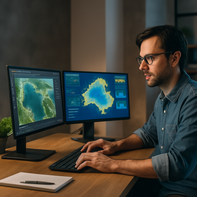
Leverage AI, Google Earth Engine, Open Data Cube and GeoAI to transform your surface water analysis.
About
Take sessions at any time, at your own pace with unlimited access for 30 days on sign up.
Surface water mapping is essential for flood risk assessment, water resource planning, and monitoring climate impacts. Traditional methods can be time-consuming and expensive. This 2-hour course demonstrates how to use free, cutting-edge tools to simplify and accelerate this process, making high-resolution, repeatable, and scalable analysis available to all.
Building on the free webinar (link below for viewing), this hands-on course, led by AI and open-source software expert Dr Qiusheng Wu, will show you how to harness free AI tools to rapidly map and monitor surface water, boost accuracy, save time, and transform your modelling workflows.
Details
| Format | 2-hours recordings + material & resources for download |
|---|---|
| Cost | AUD$198 (INC GST) |
| Code | POD-26-17 |
| Contact | [email protected] |
| Tags | AI / Climate Adaptation / Ecosystem & Catchment Management |
Register your interest: https://awschool.com.au/training/ai-tools-for-mapping/
Presenters
Qiusheng Wu
Amazon Scholar | University of Tennessee

Sean Micek
Fenstermaker

Panel Members
Saeid Daliri
GECOsistema

Krey Price
International Water Training Institute