Video
Webinar: Using Cloud-Based Flood Risk Information
A cost effective, accessible approach linking to official data sources in real time.
About
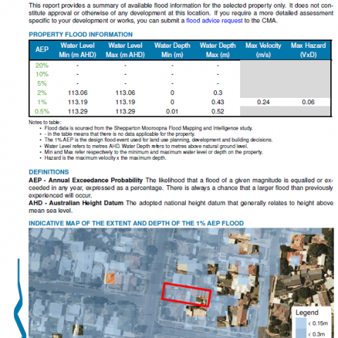
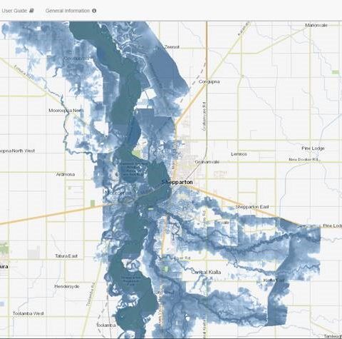
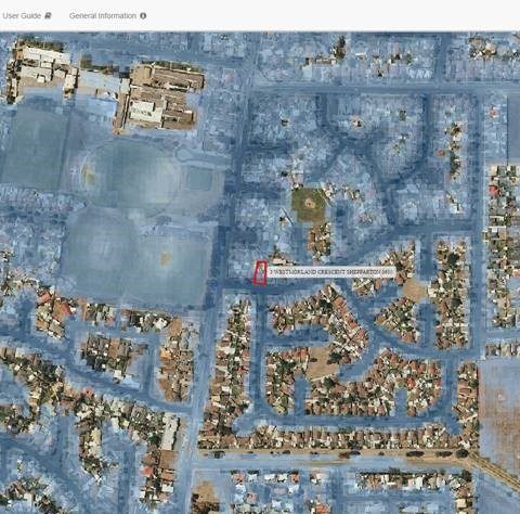
Developed within the cloud based HydroNET platform, this portal securely connects to official flood and property datasets at source, enabling the public to view flood maps and download the latest property specific flood information, generated on-the-fly when requested. The latest official data is always linked to and used at time of request, keeping the information provided up to date into the future. The portal significantly reduces the time and cost burden on staff while improving the accessibility to the public. The cloud based approach provides the added benefits of cost efficiency, ease of access from anywhere and anytime, upgradeability, reliability and scalability.
Presenters
Brian Jackson
WATER TECHNOLOGY


