On-demand
QGIS essentials for water modelling
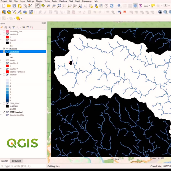
Using QGIS in catchment and stream delineation for adding and visualising hydrological data.
About
Take sessions at any time with unlimited access for 30 days on registration.
In this course, you will learn how to apply free GIS applications and plugins to aid the development and animation of hydrologic and hydraulic models. There are also pre and post-course materials to develop and solidify your learning.
On completion, you will be awarded an internationally recognised QGIS Certificate.
Details
| Cost | Standard fee $895.00 (INC GST) |
|---|---|
| Code | OD-23-3-074 |
| Contact | training@awschool.com.au |
| Tags | QGIS |
Register your interest: https://awschool.com.au/training/qgis-essentials-for-water-modelling/
Presenters
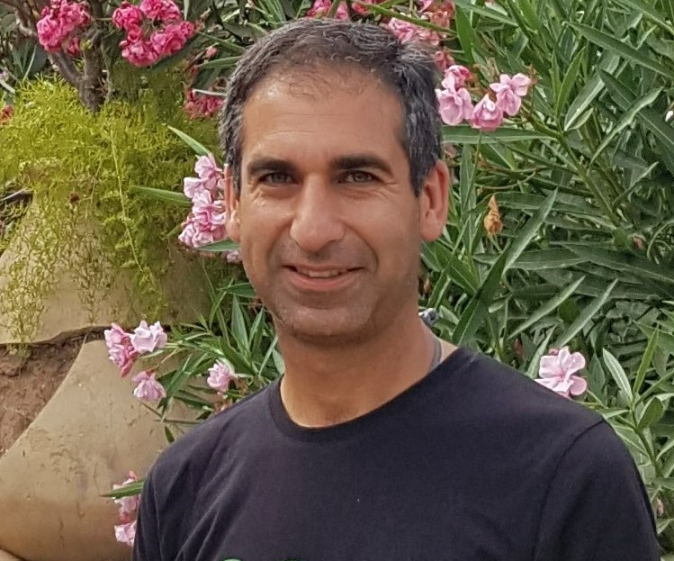
Hans van der Kwast
QWAST
Hans van der Kwast has more than 20 years of experience with GIS and Remote Sensing in education and projects, offering consultancy, training and coaching in open source GIS. He is an active member in... Read more
Kurt Menke
Septima
A former archaeologist and ex-GISP, Kurt Menke is a geospatial generalist based out of Frederiksværk, Denmark. He received a Master’s degree in Geography from the University of New Mexico in 2000. ... Read more