Course Outline
Part 1:
1. Data wrangling
– Gap interpolation, outlier detection, detrending, and temporal differencing of measured data
2. Correcting groundwater data for atmospheric and Earth tide influences
– Removing the effects of atmospheric and Earth tide influences, as performed previously by software such as BETCO
3. Assessing the time lag-dependence of groundwater responses to atmospheric influences
– Characterising and quantifying groundwater responses to atmospheric influences using regression deconvolution
Part 2:
1. Traditional methods of interpreting groundwater responses to Earth tide influences
– Identifying and quantifying Earth tide influences using Fourier analysis
– Interpreting aquifer confinement status from Earth tide influences
2. Traditional methods of interpreting groundwater responses to atmospheric influences
– Quantifying and comparing responses using a range of traditional methods
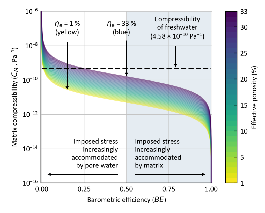
– Estimating barometric efficiency and aquifer specific storage values from measured responses
Part 3:
1. Advanced methods of quantifying the groundwater responses to tidal forces
– Identifying and quantifying tidal influences using harmonic least-squares
2. Advanced methods of interpreting the groundwater responses to Earth and atmospheric tides
– Analysing harmonic components and disentangling their drivers
3. Quantifying subsurface properties using the groundwater responses to Earth and atmospheric tides
– Estimating hydraulic conductivity, specific storage and barometric efficiency
You will gain insights into HydroGeoSines (HGS) other features, including:
- How to automate pre-processing tasks, including resampling measurements to a consistent time step, and using interpolation methods for gap filling;
- How to remove the effects of barometric pressure and Earth tides, as performed previously by software such as BETCO;
- How to use a range of methods to identify aquifer confinement types from groundwater responses to Earth tides;
- How to use a range of methods to estimate the specific storage of confined aquifers from groundwater responses to Earth and atmospheric tides; and,
- How to estimate aquifer hydraulic conductivity from groundwater responses to Earth tides.

Format
- 6+ hours of session recordings with unlimited access for 30-days;
- Pre-course materials to go through via the AWS learning platform;
- Manual of the course and working model download/s;
- Ability to ask questions to the presenters at anytime through the learning platform;
- Participants earn CPD hours/points (i.e. with Engineers Australia) for at least 12 hours for the entire course.
Requirements
A good internet connection and software and downloads as described in the learning platform.
Outcome
On completion of the course, you will be issued with a Certificate of Participation.
Refund Policy
Frequently Asked Questions (FAQ)


