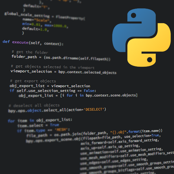
About

Take sessions anytime, at your own pace with unlimited course access for 30 days.

Python has become part of the toolbox of scientists and engineers, and has numerous applications in hydrology. By mastering Python, you are able to extend data analysis and modelling capabilities far beyond what is possible with spreadsheets, GIS platforms and other standard software.

This course is intended for anyone working in the water sector, regardless of their Python experience. Over three sessions this introductory course will teach you the fundamentals of Python and provide an overview of its most important libraries. The course will give you the confidence to create basic programs to process hydrological data and calculations. Register now to make Python a part of your professional toolbox!

Details

Cost Standard fee $695.00 (INC GST)
Code OD-23-3-076
Contact training@awschool.com.au
Tags

Presenters

Vincent Post

Edinsi Groundwater & Flinders University

Vincent is a hydrogeologist with over 15 years of experience in Python programming. He uses it on a daily basis for many if not all of his tasks, such as working with logger data, preparation of model... Read more

Panel Members

Cristina Solorzano Rivas

Flinders University

Cristina completed her first degree in Civil Engineering in Honduras, which neighbours her birth country of El Salvador. In 2000, she emigrated to Barcelona, Spain, where she worked as a hydraulics en... Read more

This course is designed to allow you to:

  • Gain basic command of the Python programming language;
  • Ability to work with arrays and dataframes;
  • Process spreadsheet and GIS data;
  • Perform hydrological calculations;
  • Visualise data and model results in graphs;
  • Be introduced to Pandas, NumPy, Matplotlib, SciPy;
  • See Jupyter and Anaconda scripting demonstrated.

Course Outline

Part 1:
  • Things you need to get started with Python
  • Basics of Python and useful packages
  • First steps: Python language and simple scripts
Part 2:
  • Working with arrays and dataframes
  • Loading, viewing and analysing data
  • Statistics and curve fitting
Part 3:
  • Working with time series and geospatial data
  • Interfacing with GIS software
  • Create stunning graphs and animations

Format

The course is delivered through units via the learning platform:

  • 6+ hours of session recordings with unlimited access for 30-days;
  • Jupyter notebooks and pre-course video guide for course setup through the AWS learning platform (LMS);
  • Ability to ask questions to the presenters at any time through the LMS;
  • Exercises between the 3 sessions;
  • Attendees earn CPD hours/points (ie with Engineers Australia) for at least 12 hours for the entire course.


Requirements

A good internet connection and software and downloads as described in the learning platform.

Outcome

On completion of the course, attendees will be issued with a Certificate of Participation.

Refund Policy

Frequently Asked Questions (FAQ)