Live Training
Field Data Collection with QGIS and Mergin Maps
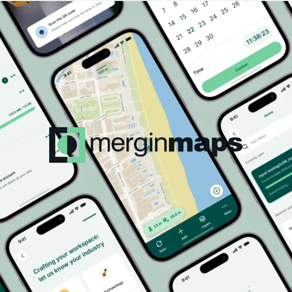
Collect, edit and manage your field data using Mergin Maps and QGIS.
About
Take your QGIS projects into the field with confidence using Mergin Maps—a powerful, collaborative platform developed by Lutra Consulting. Mergin Maps seamlessly integrates a cloud server, mobile app, and QGIS plugin to enable real-time data collection and editing across multiple devices. Whether you're working on a tablet in the field or a desktop in the office, a robust synchronisation engine ensures your data stays up to date and accessible.
Led by Lutra Consulting’s Saber Razmjooei and Mergin Maps author Kurt Menke, this course offers expert guidance and practical hands-on experience to learn how to set up and manage a data collection project using QGIS and Mergin Maps.
From configuring survey layers to conducting your first field survey, you’ll gain the essential skills needed to streamline your workflows. The course also covers advanced techniques and project administration to help you manage field teams and large datasets efficiently.
Details
|
Date
|
Tuesday, 17 March 2026 - Tuesday, 24 March 2026 |
|---|---|
|
Time
|
4:00pm (Australia/Sydney; find your local time) |
|
Location
|
Online |
| Format | 2 x 2-hour sessions + course material & resources |
| Cost | AUD $645.00 (INC GST) |
| Code | LC-26-2-147 |
| Contact | [email protected] |
| Tags | QGIS |
Register your interest: https://awschool.com.au/training/field-data-qgis-mergin-maps/
Presenters
Kurt Menke
Septima

Saber Razmjooei
Lutra Consulting